Monitoring the progress on a construction project is not easy to accomplish from the ground. Nationwide aerial drone services from Building Diagnostics Group provide a detailed top-to-bottom view and enable you to collect site information more quickly, cost-effectively and safely than ever before.
Building Diagnostics Group (BDG) is a multifaceted consulting firm. Our expertise in thermal infrared aerial imagery, or aerial infrared thermography, as well as infrared building science and water testing procedures, are an indispensable tool for architects, builders, property developers, construction managers, insurance companies and others.
Building Diagnostic Group’s highly trained team of professionals includes FAA Authorized Commercial Drone Remote Pilots and a current inventory of DJI Inspire and Matrice drones specially equipped with high-resolution FLIR camera systems. The aircraft feature a Zenmuse XT 640×512 resolution radiometric infrared camera that is capable of producing high-resolution images and video.
While most thermographers use cameras with resolutions of at least 320×240 or 76,800 pixels, BDG uses only high-resolution imagery systems that produce at least 640×480 lines of resolution (307,200 pixels), and with our advanced system, the T1020, 1024×768 lines of resolution (786,432 pixels). We are also skilled in proper image capture, data interpretation, and have extensive construction knowledge.
Aerial Infrared Thermography
Infrared radiation is emitted by all objects, and the amount of radiation increases with temperature. Thermographic cameras detect this radiation in a manner similar to the way an ordinary camera detects visible light. The radiation is converted into visible high-resolution images that make it possible to “see” variations in temperature with or without visible illumination.
Originally developed for military use, thermal imaging cameras have become an invaluable tool in a wide variety of industries. Firefighters use aerial thermal imaging to see through smoke, locate fire hotspots, and conduct search and rescue operations. Police departments use the technology for surveillance, to investigate crime scenes, and to locate and apprehend suspects.
Aerial Applications
BDG helps clients monitor and document construction progress using aerial photography and video. We can provide you with a simple, one-time aerial image for comparing plans to actual progress, or multiple images at regular intervals for tracking ongoing progress and productivity. The data capture requires no direct interaction with the site and allows work to continue undisturbed.
The applications for aerial thermography are endless and also include:
- Aerial 3D construction modeling
- Aerial infrared roof inspections
- Aerial solar panel field surveys
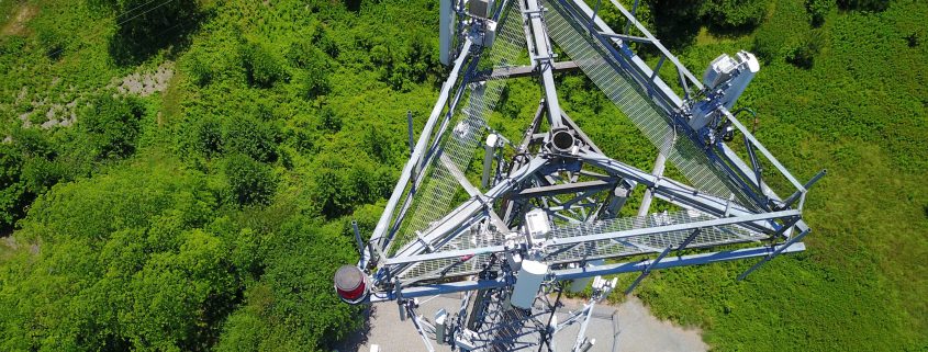
- Aerial tower and structure inspections
- Transmission line inspections
- Agricultural mapping and surveys
- Topographic surveys
- Building energy performance surveys
- Quality control and materials monitoring
- Safety and security surveillance
- Marketing and promotion
The FAA has granted BDG a 14 CFR 107.29 Daylight Operation Waiver which allows us to perform aerial infrared roof inspections and other nighttime missions throughout the United States.
Building Diagnostics Group can customize aerial construction progress monitoring anywhere in the nation based on your specific needs. To receive a quote or get more information, contact us at (888) 317-4568 with the details of your project.
