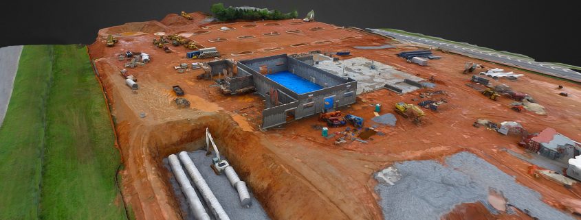
3D Construction Modeling
Aerial drone images can be used to create 3D models. These photorealistic models are created by essentially stitching hundreds of photographs together.
Once the model is uploaded to cloud platform, you can add comments, pinpoint areas of concern, and calculate distances and surface areas.
Other features:
- Shareable cloud platform
- Fly-though dynamic video files shareable on YouTube, Vimeo, Sketchfab, and more
- Files can be exported for printable 3D models

