Aerial photography plays an essential role in construction projects in Marietta, Georgia and across the nation. It can help with the planning process, assist builders in documenting the project’s progress, help to spot potential issues that would otherwise be missed, and more.
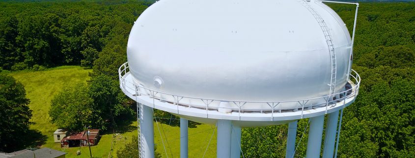
Commercial drones — also known as unmanned aerial vehicles (UAVs) – make it possible to quickly and efficiently survey land, monitor construction progress, and inspect roofs, buildings, solar panel fields, and elevated structures, such as bridges, water towers and cell towers, all from the comfort and safety of the ground.
Building Diagnostics Group (BDG) helps clients monitor and document construction progress using aerial photography and video. We can provide you with a simple, one-time aerial image for comparing plans to actual progress, or multiple images at regular intervals for tracking ongoing progress and productivity.
The applications for aerial construction photography are endless and include:
- Aerial construction site monitoring
- Aerial 3D construction modeling
- Aerial infrared roof inspections
- Aerial solar panel field surveys
- Aerial tower and structure inspections
- Topographic mapping and surveys
- Agricultural mapping and surveys
- Transmission line inspections
- Quality control and materials monitoring
- Safety and security surveillance
- Marketing and promotion
Imagery can be captured on a regular basis or scheduled for a specific date. On each visit to the site, the drone can capture the same series of images to create a complete time-lapse record of the entire course of the construction project. The data capture requires no direct interaction with the site and allows work to continue undisturbed.
Images and videos can be uploaded to our cloud reporting platform and shared with managers, owners and investors to quickly evaluate development progress, and critical issues and potential problems that are detected can be identified and conveyed quickly to construction teams for resolution.
Our aerial services include as many photos and videos as are needed to capture your entire construction site from all angles and perspectives.
About Our Team and Equipment
Robert Scherer, President of BDG, is certified in Advanced Building Diagnostics and is an ITC Certified Level III Thermographer with more than 15 years of thermography experience in a wide variety of different applications.
For fast, reliable photography from the air, our highly skilled team of FAA Authorized Commercial Drone Remote Pilots utilize UAVs equipped with FLIR Systems’ Zenmuse XT 640×512 radiometric infrared camera systems that are capable of producing high-resolution images and video. FLIR is the world leader in infrared technology.
While most thermographers employ cameras with resolutions of at least 320×240 (or 76,800 pixels), BDG uses only high-resolution imagery systems that produce at least 640×480 lines of resolution (307,200 pixels), and offers an advanced system, the T1020, which produces 1024×768 lines of resolution (786,432 pixels). We are also skilled in proper image capture, data interpretation, and have extensive construction knowledge.
Building Diagnostics Group performs aerial construction photography and UAV drone thermal inspection services in Marietta, Georgia, and throughout the United States. To receive a quote or additional information, please contact us at (888) 317-4568 to discuss your project.

