Aerial drone photography can help you see how a project is progressing during construction, conduct quality inspections in large and hard to reach areas, identify and mitigate potential hazards, and visualize your final project.
Building Diagnostics Group (BDG), headquartered in Atlanta, Georgia, is a multifaceted consulting firm. Our expertise in thermal infrared aerial imagery, or aerial infrared thermography, as well as infrared building science and water testing procedures, are invaluable to architects, builders, property developers, construction managers, insurance companies and others.
BDG provides the highest quality infrared and digital imagery in the industry. We use only high-resolution FLIR SYSTEMS thermography equipment and utilize several different camera systems, including a Zenmuse XT 640×512 resolution radiometric infrared camera, each for a specific use and calibrated for specific targets with the capability of producing 20+ megapixel images and full 4K videos.
While most thermographers use cameras with resolutions of at least 320×240 or 76,800 pixels, BDG uses only high-resolution systems that produce at least 640×480 lines of resolution (307,200 pixels), or, with our advanced system, the T1020, 1024×768 lines of resolution (786,432 pixels). We are also skilled in proper image capture, data interpretation, and have extensive construction knowledge.
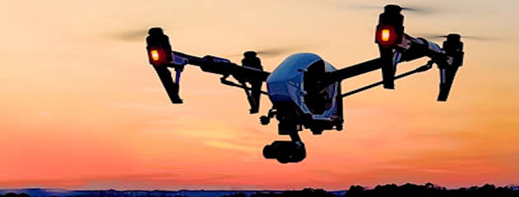
Our highly trained team of professionals are fully insured FAA Authorized Commercial Drone Remote Pilots who operate a fleet of DJI Inspire and Matrice aircraft. The team includes Certified Thermographers, Certified Industrial Hygienists (CIH), and other engineering/architectural specialists who enable us to provide the most comprehensive non-destructive building investigations available today.
From scouting a site to completion of a project, aerial photography enables clients to see conditions they would not be able to see by simply walking the site. We have the ability to thoroughly photograph and inspect construction sites, roofs, solar panels, water towers, cell phone towers, wind turbines, power lines, bridges, building facades, and many other objects while maintaining a safe distance from the target.
Our aerial drone inspections can provide you with a simple, one-time aerial image of your construction or multiple images over a defined period. Aerial site data can be collected at predetermined intervals or during specific project milestones. The data capture requires no direct interaction with the site and allows work to continue undisturbed.
BDG’s services include as many aerial photos and videos as are needed to capture the entire construction site from all angles and perspectives. They can be uploaded to our cloud reporting platform to produce a large format stitched image or a 3D model that can easily be annotated, measured, and shared with others.
Building Diagnostics Group has the expertise to perform a wide range of aerial construction photography and inspection services, regionally and nationwide, and can handle any size project. Please get in touch with us at (888) 317-4568 to discuss your requirements.

